
| Using Library of Congress Maps with Mr.SID viewer | |||
|
The Library of Congress' American Memory project has a great collection of very high resolution old town maps. An index to these maps is available at:
|
|||
|
In our example, we'll work with the maps of Waterbury, CT, so go to the part of the indexes for:
and click on United States--Connecticut--Waterbury. (You can use the "INDEX" button to start over at the top of the Map Finder) |
|||
|
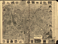
There are two maps listed for this city. Click on the first one: United States--Connecticut--Waterbury. c1899. You should see a map that looks like this:
|
|||
|
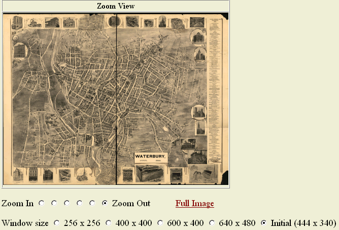
Click on the map on the Library of Congress page to go to the "Mr. SID" version of the map. Now you should see a "FULL" map on one side, and a "Navigation" map on the other. |
|||
 |
 |
||
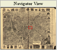
|
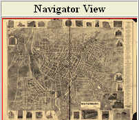
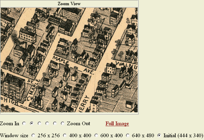
The Buttons between "Zoom In" and "Zoom Out" indicate how much detail should be shown. After selecting a button, click somewhere on the map, and it will zoom that area to the dimensions shown. The small navigation map on the right will indicate what portion of the overall image is being examined. In the example below, the red box on the smaller image shows what portion of the overall map is being magnified. |
|||
 |
 |
||
| Downloading MrSID maps to use locally | |||
|
At the bottom left of each map page, there is a link labelled "Download MrSID image". These images are very large (the 1899 Waterbury map is 20 MegaBytes) and require special software to view. |
|||
|
Its best to load the viewer software on your computer before downloading your first image. Go to the LizardTech webpage. The name of the software you wish to use is "LizardTech ExpressView Browser Plugin (MrSID)", which at the time of this writing may be found on the Downloads page of the LizardTech site. Once on the Downloads page, click the "Windows" with the little arrow next to it to download. This software is only for Windows versions of Netscape and Internet Explorer. Follow the directions to install the software.
|
|||
|
After installing the software, proceed to download any "MrSID" maps at the Library of Congress. Use "File Open" within your browser, and you will be able to view the file on your own machine! By default, your browser will try to open "HTML" files. You need to choose "All files" and select your MrSID map.
|
|||
|
|||
| This genealogy lesson by Gary Warner. Got a question? gar@askgar.com | |||